

River and Tributary History

Captain John Smith and his crew explored the Nansemond River in 1609.
The Nansemond River was named for the Native American tribe that fished its waters for thousands of years before European settlers arrived. In 1609, Captain John Smith sailed into the Nansemond River and in 1642, Anglican settlers formed a Parish near the shores of the Nansemond, known today as St. John’s Church.
The Nansemond River originates in downtown Suffolk. Lakes Cahoon, Kilby, and Meade were once main streams which were the headwaters of the Nansemond. They have since been separated from the River by dams and are now owned by the City of Portsmouth. Lakes Burnt Mills and Prince were once streams which were the headwaters of the Western Branch but were also impounded by dams and are now owned by the City of Norfolk. Except for lake overflow, the Nansemond River has no significant source of unpolluted fresh water. The Nansemond River runs 23 miles from downtown Suffolk to its confluence with the James River.
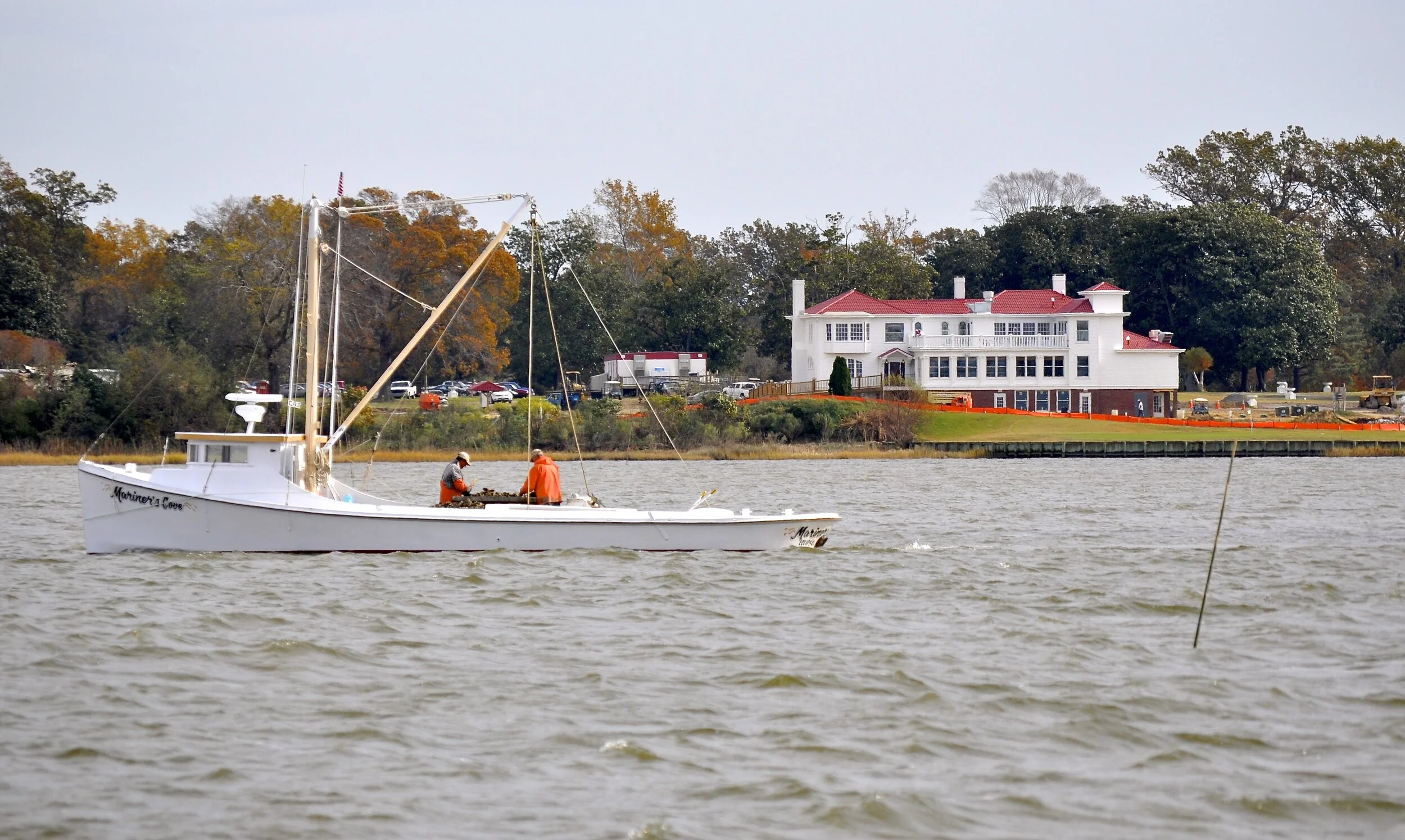
Watermen harvesting oysters along the Nansemond River. Historic Obici House in the background
Bennett’s Creek, which feeds into the Nansemond downstream of the Rt. 17 Bridge, is a major tributary. The Nansemond Watershed drains 161,358 acres of land in Suffolk and Isle of Wight County. However, a significant portion of the rain water drains into the aforementioned Lakes. Salinity at the mouth of the Nansemond averages 15 parts per thousand (ppt) (brackish) but only 1-2 ppt near downtown Suffolk. Much of the Nansemond River, outside of the navigation channel, is a shoal depth. Tidal rise and fall averages 3 feet.
Chuckatuck Creek, which parallels the Nansemond River for a portion of the length, feeds into the James just north of the Nansemond. Upper Chuckatuck Creek is connected to Crane Lake, one of the 12 Lonestar Lakes, which originated as marl mining pits. The remaining Lakes are isolated from Chuckatuck Creek and several serve as part of the Suffolk municipal water supply.